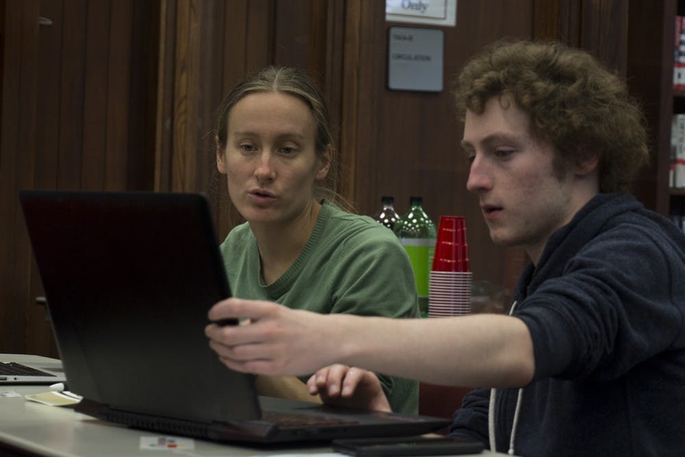
USC's geography department, University Libraries and the Digital Belt and Road Program (DBAR) International Center of Excellence on Big Earth Data for Coasts hosted Geographic Information Systems (GIS) Day on Nov. 14 in the Thomas Cooper Library.
The purpose of GIS Day was to get students and the community engaged with geographic information system technologies and to encourage students to learn about GIS and its applications outside the classroom. Andui Reed, a second-year geography and global studies student, believes students would benefit from this.
“It’s a good opportunity to see different ways that GIS is actually used besides just the ways we see in the classroom," Reed said. "Because in the classroom it's a lot of, you work at like the county level or the state level and that is all that you see, but this is completely different."
Grace Allen, a fourth-year environmental studies student, enjoys working with nonprofits and is currently working with the SC Wildlife Federation, an organization that aims to increase conservation efforts and education in the South Carolina. She said she's already seen the impacts of GIS first-hand, especially in relation to looking at how natural disasters have affected certain areas.
“GIS can help do that and if you don't have people skilled in GIS, who’s going to do it? So, it kind of makes you feel important, being knowledgeable about it,” Allen said.
GIS is often used to for efforts like identifying the effects of natural disasters, promoting conservation efforts and studying deforestation. The objective in this year’s GIS Day Mapathon was to map the Mindanao region of the Philippines in order to analyze food accessibility.
Ellie Davis, a third-year geography Ph.D. candidate, helped organize this year’s GIS Day events. She described GIS Day as a way for students to see how big data can be applied to real-world problems.
“It’s now being used as a way to raise awareness about geography and about the need for more geographic data around the world," Davis said. "That’s kind of where we’re going into is that the importance of open source data that can be used globally.”
A yearly map battle between USC and Clemson that utilizes GIS is also in the works, with the date for this event to be determined. Last year Clemson took home the trophy, but Davis is hopeful that USC will win back the trophy this year.